

Hartsop Above How [Gill Crag - Hartsop Above How]
Good walks are even better shared.
NY3812 : The ridge route
Ian Greig Photo source
Overview
Hartsop Above How
Situated in the heart of the stunning Lake District, Hartsop Above How is a delight for hillwalkers and nature lovers alike. With an elevation of 800 meters, the mountain is classified as a Wainwright and boasts impressive prominence, making it a prominent feature of the landscape.
Geology
Hartsop Above How is a geological gem, primarily composed of volcanic rocks, including andesite and tuff. The rugged terrain and striking crags offer not only aesthetic pleasure but also a glimpse into the area's volcanic past. While the rocks may be ancient, the views feel quite timeless.
Routes
One of the most popular routes is the ascent from Hartsop village. It's a moderate trek of around 4.5 km, taking approximately 2.5 hours to summon your way to the summit. Expect to traverse grassy slopes dotted with rocks, perfect for a selfie or two. Just remember, the summit is not responsible for any unexpected photobombing sheep!
Summit Features
Upon reaching the summit, hikers are greeted with a distinctive cairn, providing a great point for a rest or a summit snack. The panoramic views are the cherry on top of this already delightful cake, showcasing the wider fells of the Lake District.
Terrain Type
The terrain varies from grassy slopes to rocky outcrops. Stepping carefully here is advisable, especially during wet conditions, where rocks can become slippery. Think of it as nature's very own obstacle course, minus the safety gear.
Views
From the summit, the views are absolutely breathtaking. To the north, gaze upon Brothers Water, while the south offers a glimpse of the iconic Kirkstone Pass and the impressive Helvellyn range. Ideally, visit in late spring to early autumn for the best visibility—who doesn't want a perfect selfie with the fells?
Hazards
As with any mountain, Hartsop Above How has its hazards. Steep drops present a risk of falling if one strays too close to the edge, and wet stones can lead to slips and tumbles. It’s best to watch your footwork, lest you take a tumble that even the sheep wouldn't find funny!
Nearby Summits
If you're feeling adventurous, nearby summits like St Sunday Crag and Angle Tarn Pikes offer additional challenges and stunning vistas – a fantastic way to extend your day in the mountains.
Access
The nearest parking is conveniently located in Hartsop village, which also possesses public transport options via the 817 bus from Penrith. If you find yourself parched after a hike, head to the Brotherswater Inn for some refreshments, although do check their hours before planning your visit!
History
The name 'Hartsop' reflects its cultural significance, translating to 'Herdsman's valley' in Old Norse. This rugged landscape tells the tale of generations of farmers tending to their flocks amongst the fells, creating a rich tapestry of history.
Hartsop Above How is much more than just another peak—it's a haven for walkers, offering picturesque views and an invigorating experience. So, lace up those boots and head out for an unforgettable day among the hills!
Explore routes near Hartsop Above How [Gill Crag - Hartsop Above How]
Walks starting near this hill. Open a route to check its map, distance and full itinerary.
Striding Edge, Helvellyn and Catstye Cam
View route
Helvellyn via Striding Edge
View route
Bow Fell from Langdale
View route
Tarn Hows Fast Route
View route
Route planning notes
These notes describe possible approaches. Check a route's map and access information when planning your walk.
Hartsop to Hartsop Above How
A scenic ascent from Hartsop village, leading through grassy slopes and rocky outcrops to the summit.
Make a day of it, together
Find someone to share the walk with, or organise a day out along a route you like.
Photo Gallery
View all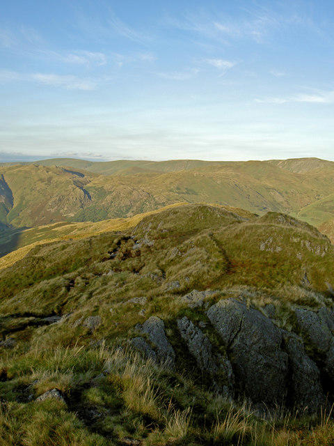 Photo could not load
NY3812 : The ridge route
Ian Greig
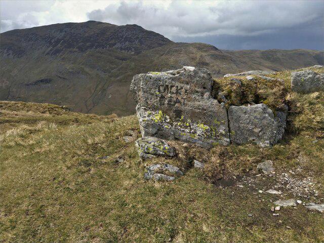 Photo could not load
NY3812 : Hartsop Above How - Dick's Seat
DrewBull
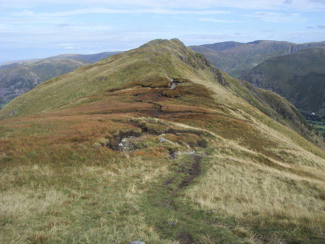 Photo could not load
NY3811 : Path nearing Hartsop above How
Shaun Ferguson
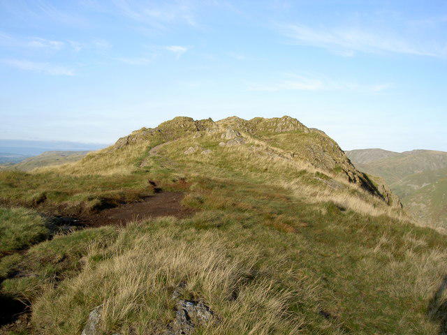 Photo could not load
NY3811 : The start of the ridge route proper
Ian Greig
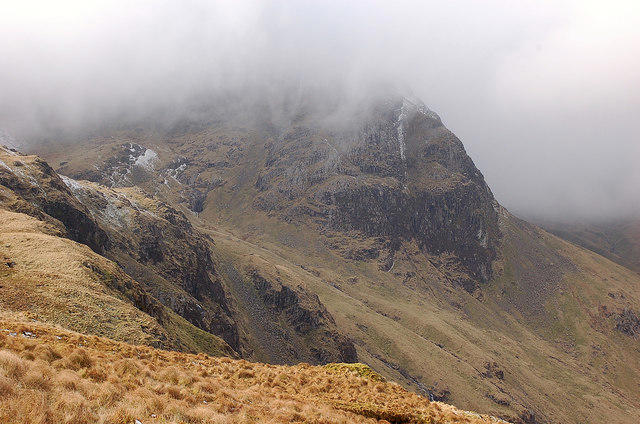 Photo could not load
NY3812 : Greenhow End from Hartsop above How
Jim Barton
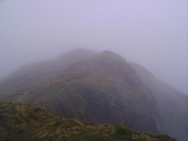 Photo could not load
NY3812 : Hartsop above How Summit
Michael Graham
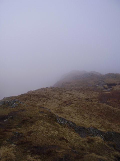 Photo could not load
NY3812 : Summit, Hartsop above how
steven ruffles
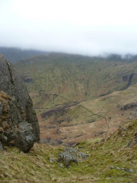 Photo could not load
NY3812 : On Hartsop above How
Michael Graham
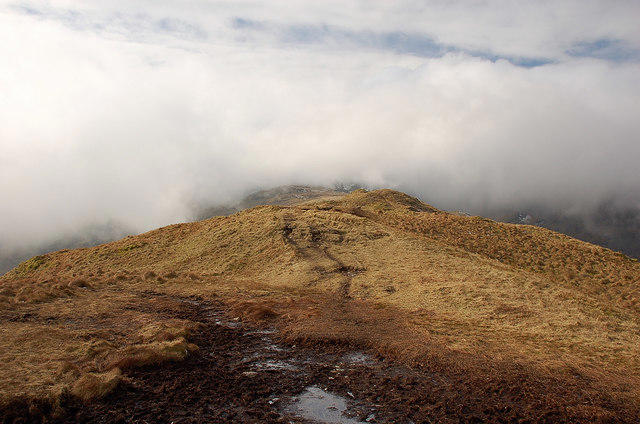 Photo could not load
NY3812 : Cloud on the ridge, Hartsop above How
Jim Barton
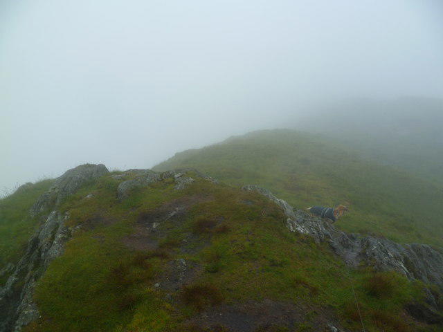
NY3812 : On Hartsop above How
Michael Graham
Hill facts and local notes
Classifications
Elevation
586m
1,923 ft
Prominence
30m
Coordinates
54.4996, -2.9540
NY383120
OS Map
90
Explorer: OL5S
At the Summit
The summit features a prominent cairn, offering a fantastic viewpoint above the surrounding fells.
Terrain & Geology
Predominantly composed of volcanic rocks, including andesite and tuff, Hartsop Above How features stunning crags and rugged terrain.
Views & Scenery
Spectacular views of Brothers Water, Kirkstone Pass, and the Helvellyn range.
History & Heritage
Name Origin
The name 'Hartsop' is derived from Old Norse, meaning 'Herdsman's valley', indicative of its pastoral history.
Historical Significance
Hartsop Above How is a popular peak among walkers and climbers, often included in Lake District walking challenges.
Getting There & Facilities
Parking
The closest parking is available in Hartsop village, where limited roadside parking can be found.
Public Transport
Buses from Penrith on the 817 route provide access to the village.
Nearby Facilities
In Hartsop village, there are limited facilities, but the Brotherswater Inn offers food and drink for thirsty hikers.
Safety Information
Known Hazards
- Steep drops in areas; slippery stones and uneven paths, particularly in wet conditions.
General Safety Tips
- Check weather conditions before setting out
- Carry appropriate clothing and equipment
- Let someone know your planned route
- Take a map, compass, and GPS device
- Carry emergency supplies: food, water, first aid kit, torch
Hills
Some common questions about the hills answered
Are there group walks up Hartsop Above How [Gill Crag - Hartsop Above How]?
Many walkers use Walkmates to join or organise walks with others. You can check for group walks around Hartsop Above How [Gill Crag - Hartsop Above How] through the maps
Are there other walkers around Hartsop Above How [Gill Crag - Hartsop Above How]?
Activity varies by location and time, but Walkmates lets you see whether others have shared walks or shown interest in this area. Find other people through the walking friends search walking friends for Hartsop Above How [Gill Crag - Hartsop Above How] search or of course create your own walk for Hartsop Above How [Gill Crag - Hartsop Above How]
Can I organise a walk to Hartsop Above How [Gill Crag - Hartsop Above How]?
Yes. If there aren’t any walks listed already, you can create a walk and make it available for others to join.
If you're signed up to Walkmates, you can create a walk to Hartsop Above How [Gill Crag - Hartsop Above How].
How do I find a walk up this hill?
There are often multiple ways to walk this hill, depending on experience and route preference. Walkmates helps you explore walks and routes that others have shared.
Can I suggest a new route up Hartsop Above How [Gill Crag - Hartsop Above How]?
Yes. You can suggest or create routes to share with others. Walkmates focuses on the social side of walking, so routes are used to help people organise walks and explore areas together, rather than as detailed navigation tools or route libraries.
Other uses really appreciate knowledgeable walkers sharing their routes. Share your favourite route to Hartsop Above How [Gill Crag - Hartsop Above How] here
The is an error or something incorrect about this hill. How do I let you know?
We always strive to keep the information on Walkmates as accurate as possible. If you find an error, please let us know through the contact form and we'll aim to correct it as quickly as possible
Community Discussion
Comments
Location
![Hartsop Above How [Gill Crag - Hartsop Above How] location map](https://cdn.walkmates.com/hill-maps/hill-sources/2578/54.49959_-2.95396.png)
Grid reference: NY383120
View on OpenStreetMapOpens a map in a new tab, centred on the hill.

No comments yet. Be the first.